
Background
The City has an easement along the south side of the pond for Spring Creek Trail, the City’s most highly trafficked bike and pedestrian trail. This offers fund strategies in the Municipal Sustainability and Adaptation Plan (MSAP), which is the organizational roadmap to being a sustainable organization. The City is also a large shareholder in the Ditch Company; however, the City is not a majority owner.
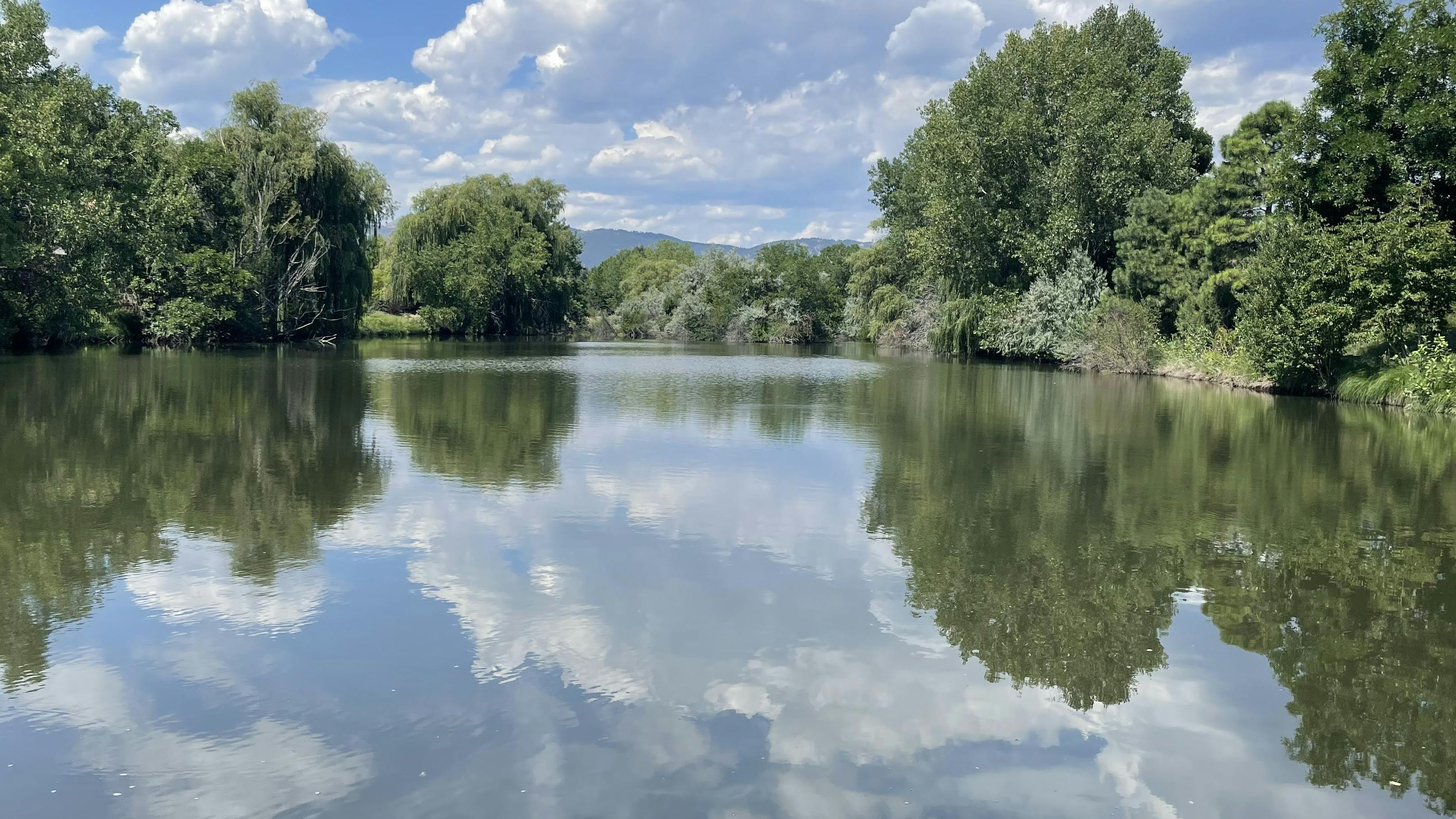
The pond is in the Spring Creek FEMA floodway and is included in the current effective floodplain models. Water levels in the pond fluctuate rapidly at the beginning and end of the irrigation season due to operations of the Arthur Ditch. Precipitation events also impact water elevations. There has been significant erosion due to the fluctuating water surface levels along the banks of the pond, including the islands in the middle, with up to 10 feet of bank collapse over the last 10-20 years. Continued erosion will soon impact Spring Creek Trail and, in some places, is only a few feet from homeowners’ property lines and fences.
Spring Creek is important for flood conveyance. Spring Creek and the adjacent trail are community amenities, highly valued by adjacent landowners and City residents at large. The feasibility and alternatives analysis will identify viable solutions. Issues include scale of the erosion, permitting requirements, and stormwater conveyance. The study will include design alternatives, operations and maintenance needs, cost estimates, and will provide a basis for identifying project participants and financial responsibilities for any future work.

Thank you for your contribution!
Help us reach out to more people in the community
Share this with family and friends